The Jersey Shoreline is a weekly round-up from New Jersey Sea Grant Consortium that scours the Garden State’s press and broadcasters for reports on several key topics related to the consortium’s research and outreach.
This week, a drone pilot captured footage of a young humpback whale feeding near shore in Ocean City and other locations, according to an NJ.com report. But, capturing footage like that may be soon be illegal in the barrier island town. An OCNJ Daily report says that the City Council has approved a ban on drones in the city, voted the Garden State’s Favorite Beach town, in the first of two votes required to pass the ban.
And, she’s back. Mary Lee, the now infamous great white shark, returned to New Jersey waters this week. No one is sure where she might head next. Read all about it at NJ.com.
Here’s the rest of New Jersey’s coastal news:
Coastal Processes & Concerns
Ecosystem Recovery After Dragging Debris, Homes From Waterways — Virginia Rettig, manager of the Edwin B. Forsythe National Wildlife Refuge noted that her agency removed nearly 2,000 tons of debris left behind from Sandy. The $13 million project overseen by the U.S. Fish and Wildlife Service, involved cleaning up over 30,000 acres of saltmarsh and coastal habitat in areas of Brick, Stafford, Eagleswood, Tuckerton and Lacey. Around 1,900 tons of debris from 22 miles of coastline was removed. Read more at Micromedia Publications.
The Jersey Shoreline is a weekly round-up from New Jersey Sea Grant Consortium that scours the Garden State’s press and broadcasters for reports on several key topics related to the consortium’s research and outreach.
Coastal Concerns
Stinging jellyfish target of Toms River cleanup — Stinging sea nettle jellyfish, the bane of swimmers and others who enjoy Barnegat Bay, will be targeted in a bulkhead and dock cleanup Monday. State officials and volunteers will scrub bulkheads and floating docks in a bid to curb the sea nettle population. Read more at the Asbury Park Press.
Is Barnegat Bay dying? — Is Ocean County doing enough to protect Barnegat Bay? That issue dominated an amicable discussion Tuesday between the Republican incumbents on the Board of Freeholders and their Democratic challengers, during an editorial board meeting at the Neptune offices of the Asbury Park Press.
Barnegat Bay Partnership Seeks Data For State Of The Bay Report — The Barnegat Bay Partnership is seeking data for its upcoming State of the Bay Report, an assessment of the Barnegat Bay prepared every five years. Read more at Micromedia Publications. Read More …
ABOARD THE OCEAN EXPLORER, in the Atlantic Ocean east of Shark River — As a complement of anglers reeled in black sea bass from the ocean floor this summer, a New Jersey Sea Grant Consortium-assembled cadre worked to tag and release undersized fish with the bends.
Mike Danko, the NJSGC marine recreation extension agent for fisheries and boating, assembled a team consisting of two scientists from NOAA James J. Howard Marine Sciences Laboratory at Fort Hancock and from the American Littoral Society.
They were out on the 100-foot charter to identify fish with barotrauma, — commonly known as the bends — tag them and return them to the ocean floor via a descending device. More importantly, they were there to educate fisherman about barotrauma.
“We had informal discussions with approximately half of the customers on the way out to the fishing spot,” Danko said. “Slightly more than half of the people we talked with aboard the Ocean Explorer did not know what barotrauma is, but they all indicated they would be willing to use or try a descending device to increase survival rate of fish suffering from the condition.” Read More …
GALLOWAY — The levels of ocean acid are higher along the coastal waters of the Mid-Atlantic and Northeast than they are in along southern Atlantic coasts, which puts one of New Jersey’s growing industries at risk.
That’s a concern of regional marine scientists and other stakeholders across the Mid-Atlantic, who want to pull together to create a team to study and address the problem.
“We need to pull together in order to find solutions that reduce the impacts of ocean acidification on our ecosystems and shellfish industry,” said Dr. Peter Rowe, NJSGC’s director of research and extension.
They gathered at Stockton University in August for a discussion — organized in part by the New Jersey Sea Grant Consortium —with experts and stakeholders about the current state of New Jersey’s coastal waters and what threats OA, as it is called, poses to the Mid-Atlantic.
As oceans become more acidic, the nutrients available to shellfish become sparse. They can’t grow shells, or their shells become too weak.
The destructive potential for OA, as it is called, is a huge problem for the shellfish industry in the Northwest.
Between 2005 and 2009 shellfish production collapsed by 80 percent, according to a PBS report. In Washington State the industry is worth $270 million and employs thousands of people.
Daniel Cohen theowner of Atlantic Capes Fisheries, said that the Pacific Ocean acidification brought the indutry to its knees. Oysterman were hauling in 600 to 700 bushels of oysters with a value of $60 million, but that dropped to zero, he said.
“Research on ocean acidification and shellfish is just beginning here in New Jersey, and there are no indications of a serious problem at this time,” said Lisa Calvo, the New Jersey Sea Grant aquaculture specialist.
In New Jersey, shellfish harvesting has grown from $98.65 million in 2003 to $159 million in 2012, according to NOAA figures. And commercial fishing in general employed more than 50,000 people in 2012, and was worth $2.87 billion across all sectors.
Beyond the economic benefits of shellfish, they are critical to the environment.
To that end, several environmental groups have been working to rebuild shellfish reefs in Barnegat Bay, and the state Senate has approved a law that would open closed waters in Raritan and Sandy Hook bays to rebuilding oyster reefs for research purposes. The law has not passed the Legislature because a similar law has not yet recieved approval in the General Assembly.
And, Calvo, at the Rutgers Haskin Shellfish Laboratory, coordinates Project PORTS, or Promoting Oyster Restorarion Through Schools, which is an effort to build an artificial oyster reef in protected Delaware Bay waters.
“Oysters are filter feeders, they consume phytoplankton from the water and as they filter their food from the water they improve water quality. This is one of the most important ecological services that oysters provide,” Calvo explained. “ Additionally oysters form reefs as generations of oysters settle on one another. The oyster reefs serve as important habitat for many fish species and crabs.”
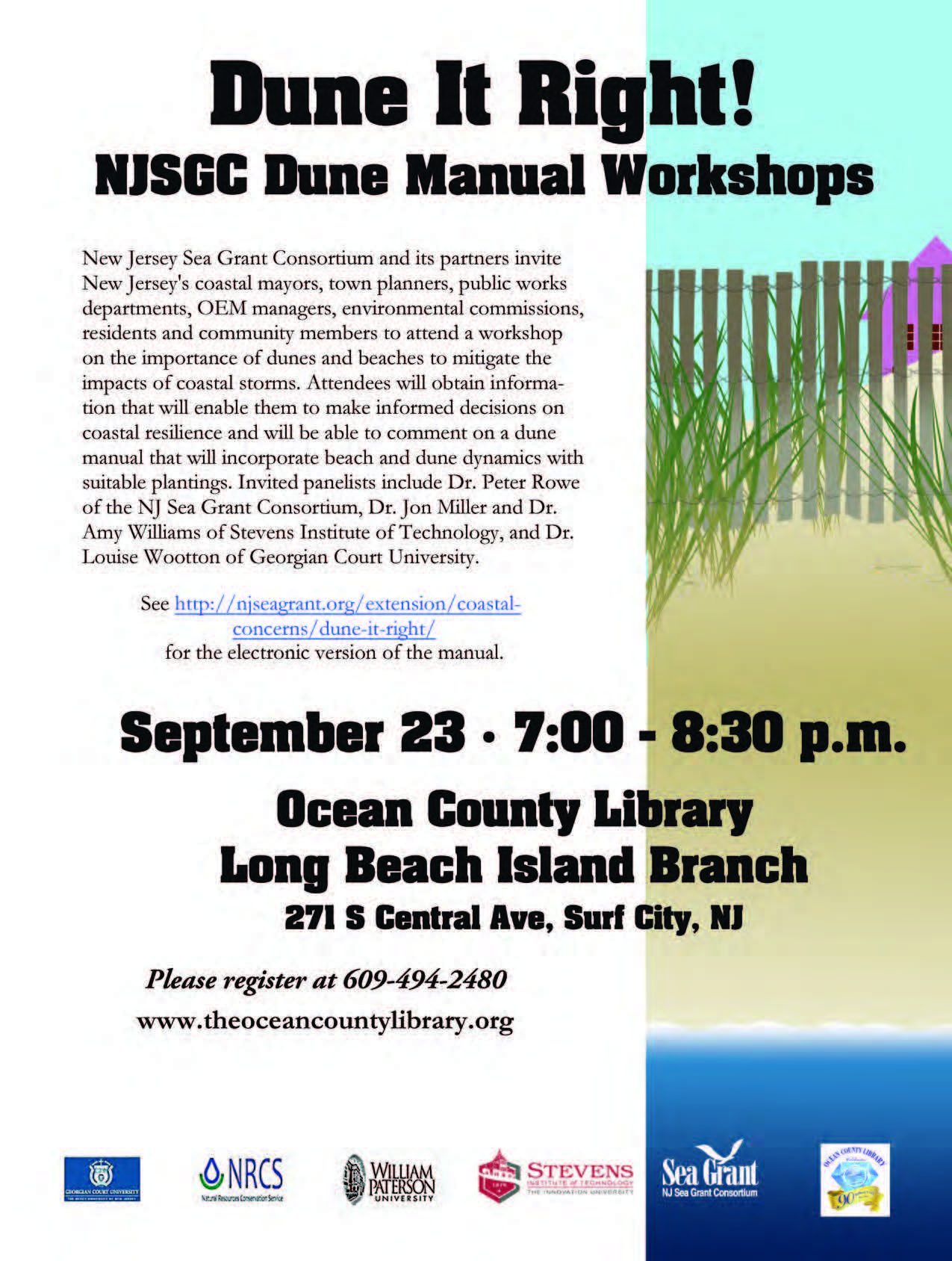
Update 7/19/2016: There is now an updated version of the Dune Manual available at njseagrant.org/dunemanual
FORT HANCOCK — Backed up by the latest research, best practices for dune restoration have changed dramatically in 30 years, which is why the New Jersey Sea Grant Consortium and its partners wants the Jersey Shore to Dune it Right.
The last manual providing instructions about how to restore dune ecology was published by the USDA Plant Materials Center in the 1980s, and much of that advice is obsolete.
At the time, the key to dune restoration was American beachgrass.
“We see people planting Ammophila breviligulata — beachgrass — everywhere,” said Dr. Louise Wooton, of Georgian Court University at a recent outreach workshop on dune restoration and storm surge.
Beachgrass is still vital to dunes, but more emphasis is being placed on the diversity of plant species, but also of the grass itself. Nearly all the grass in dune restorations is from one Cape Cod-based variety, according to research by Dr. Michael Peek . Researchers say that needs to change if the dunes are to become more resilient.
With support from the NOAA National Sea Grant Office, New Jersey Sea Grant Consortium and its partners are correcting and updating those instructions through the Dune it Right Manual, published on njseagrant.org.
Dr. Amy Williams of Stevens Institute of Technology will present Dune it Right at the American Shore & Beach Preservation Association later this month. Click here to learn more.
The manual is a living document written by researchers and extension agents at William Paterson University, Stevens Institute of Technology, Georgian Court University — all NJSCG members — and USDA Natural Resources Conservation Service Plant Materials Center at Cape May who have had dune and beach research funded by the consortium.
Coastal experts wrapped-up a round of workshops aimed at developing an understanding of storm surges and dune restorations last month. The latest round was the second time this year that workshops were held to publicize the dune manual and update stakeholders about the latest best practices and research in dune management and restoration.
Here’s a breakdown of some recommendations:
Don’t plant beachgrass in rows, attempt to plant in circles instead.
Try to plant beachgrass
Know the habitats: Dune ecology changes rapidly going inland. What one species likes on the primary dune, isn’t necessarily going to work for them on a secondary dune.
In built out communities, treat yards and garden spaces as secondary dunes or maritime forests, and select native plant species that thrive in back dune environments.
Make dunes diverse environments. Don’t just plant one species of plant.
The first round in the spring were aimed specifically at government officials who might be managing public dune restorations. seminars were held in each of the state’s four coastal counties.
The second round, one held in Cape May and the second held in Surf City on Long Beach Island were open to the general public.
Dunes, and their protective power, were proven to be a vital assest to beach communities during the onslaught of Hurricane Sandy. Communities without dune protection, by and large, fared much worse if they had no protection. The protective power of dunes is, in part, why dunes and beaches are considered to be the Garden State’s most valuable ecosystem.
Intense development along the Jersey Shore and the heavy use of the beaches by humans has reduced most of the dunes and the ecological services they provide, especially wrack lines, secondary dunes and maritime forests.
This has been done to make the beach “clean” and easy to access, experts said.
State and federal parks and reserves, and a few communities like Avalon in Cape May County Bradley Beach in Monmouth County are exceptions.
“Bradley Beach made a committment in the 1980s to build dunes,” Wooton told the crowd at Long Beach Island. “For 30 years, without any major storms they may have looked pretty silly, but than Sandy hit and they don’t look silly anymore.”
The Dune It Right manual can be downloaded at by clicking here.
The Jersey Shoreline is a weekly round-up from New Jersey Sea Grant Consortium that scours the Garden State’s press and broadcasters for reports on several key topics related to the consortium’s research and outreach.
The news of the week is undoubtedly Hurricane Joaquin and an accompanying storm. For most of the week there was uncertainty about whether the hurricane would make landfall or remain offshore. Regardless, New Jersey will likely be impacted by the Joaquin in some manner.
In preparation for the storm, Gov. Chris Christie declared on Thursday a state of emergency, according to a report in the Record. By Friday morning, forecasters predicted that the storm would veer away from the Garden State, according another Record report. However, a Nor’easter has the potential to dump 1/2-inch to 1-inch of rain accompanied by 35-mile-per-hour wind gusts.
To help you prepare for coastal storms, New Jersey Sea Grant Consortium has curated these tools. Read More …
THE FORMER OFFICERS’ club at Fort Hancock on Sandy Hook, where New Jersey Sea Grant Consortium has its headquarters, is now among the buildings available to be leased, according to a report on NJ.com. The National Park Service, which controls the former Army artillery fort, is looking for non-profit organizations and private investors to hold long term leases on the club and 35 other buildings.
ThisNew Jersey Monthly article on invasive species may not be about the Garden State’s coastal ecosystems, but it highlights a widespread problem nonetheless. The consortium is attacking invasive species on two fronts.
Mike Danko, the NJSGC marine recreation extension agent, is involved in a multi-state campaign to convince recreational anglers to throw-out bait packed in seaweed rather than dumping into the water.
The Coast Guard has had their work cut out for them. A pilot was killed when his plane crashed in the Atlantic Ocean off of Atlantic City last week. The small plane was recovered from the sea floor. A tow boat sunk off Sandy Hook, and the captain was pulled alive from open water. It’s the second vessel to sink near Sandy Hook this month.
Meanwhile, NY Waterway will launch the first ferries built in New Jersey for at least a century.
Prodigy to pariah: N.J. oysterman’s bizarre battle with the state — Marc Zitter, an oyster farmer in Cape May County, filed a lawsuit against state Department of Environmental Protection employees after illegal harvesting charges against him were dropped. Two years ago, conservation officers seized Zitter’s boat, ATV and tens of thousands of dollars in gear, loaded Zitter’s 600,000-plus oysters into pickup trucks, hauled them on a boat to the middle of Delaware Bay and dumped them overboard, basket by basket. Then, Zitter was charged with the harvesting from prohibited waters and arrested outside his home. He’s suing for $3 million in damages to his business. Read more at NJ.com. Read More …